When you click on links to various merchants on this site and make a purchase, this can result in this site earning a commission. Affiliate programs and affiliations include, but are not limited to, the eBay Partner Network.
A drive on America's highest auto road to summit of Mount Evans
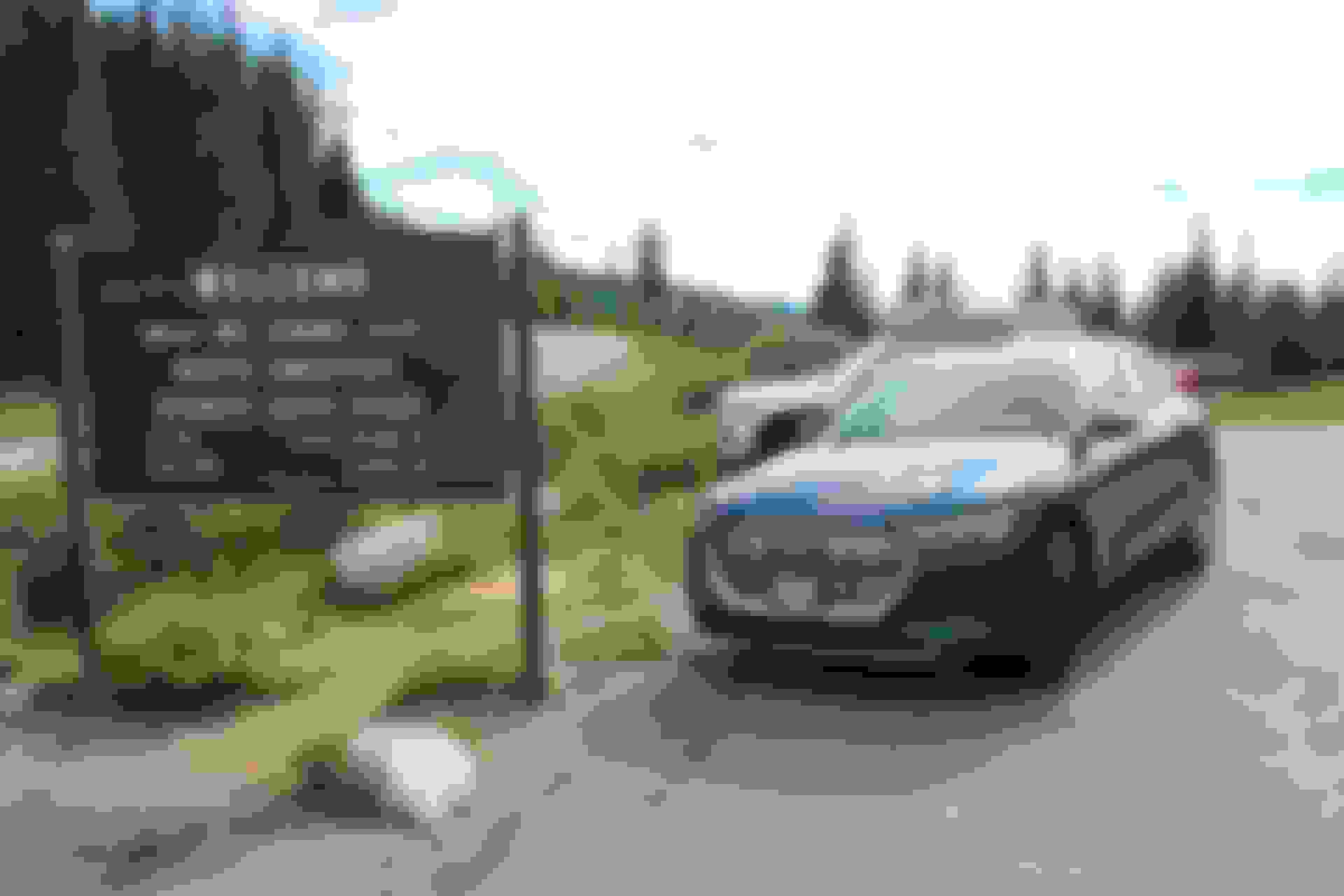
Today I drove my new e-tron from my house on the west side of metro Denver to the top of Mount Evans. The drive began at an elevation of 5,940 ft and ended at the summit parking lot at 14,160 ft. The first 36 miles took me along CO74 via Evergreen to Bergen Park, then Squaw Pass Road to Echo Lake. Here, Mount Evans Scenic Byway, North America�s highest auto road, begins - 14 more miles to the summit. On the way back I took the exact same route in reverse.
It was a beautiful drive and the e-tron performed amazingly well. What a wonderful vehicle!
Now to some data points.
- I started out with a 100% charge. GOM showed a range of 255 miles, when I powered on the car, but immediately jumped down to 185 miles as I pulled out of the garage (picture #4).
- Home to Echo Lake: 36 miles, 1 hr 3 min drive time, 4,760 ft elevation gain, remaining range 128 miles, charge level 75%, average mph = 34, average mi/kWh = 1.6 (picture #5)
- Echo Lake to summit: 14 miles, 45 min drive time, 3,460 ft elevation gain, remaining range 97 miles, charge level 62%
- Between home and summit, average mph was 28 and average mi/kWh was 1.4 per short term memory (pictures #6 & 7).
- Before starting the return trip, I zeroed long term memory, but left short term memory as it was.
- Summit to Echo Lake: 14 miles, 41 min drive time, 3,460 ft elevation loss, remaining range 118, charge level 70%. On this section, I was able to control my speed almost exclusively using the recuperation paddles and barely needed to touch the accelerator or brake pedal. It felt good seeing a recuperation of 21 miles and 8% battery charge over those 14 miles downhill.
- From home to here, short-term memory showed an average mph of 26 and an average mi/kWh of 2.
- From summit to here, long-term memory showed an average mph of 21 and an average mi/kwh of 99.9 (picture #8).
- Echo Lake to home: 36 miles, 1 hr 4 min drive time, 4,760 ft elevation loss, remaining range 192 miles, charge level 70%. On this section, I used a mix of accelerator, brake pedal, and recuperation paddles. Interestingly, the charge level at the end of this section was 70%, the same as it was at the beginning of this section. But the GOM showed a range gain of 74 miles.
- For the whole round trip, short-term memory showed an average mph of 27 and an average mi/kWh of 3.1.
- Long term memory showed an average mph of 27 and an average mi/kWh of 36.8 for the 50 miles downhill trip from the summit to home (pictures #9 & 10).
Recuperation was set to Automatic mode, driving mode was set to Auto, no use of A/C the whole time, and the vehicle rides on 19� wheels with summer tires.
I plan on heading up to the summit again sometime later this month. At that time I'll take I-70 to Idaho Springs instead of CO74 via Evergreen. I love visiting Mount Evans during the summer for the wildlife and the views. Not to mention the camouflaged prototypes of new vehicles that can be seen frequently being tested on this mountain road.
This is wonderful news and a terrific post. Thank you for sharing. Do you think the e-tron would make it from Denver to Vail in one charge (100 mile trip, two large mountain passes)?
This is wonderful news and a terrific post. Thank you for sharing. Do you think the e-tron would make it from Denver to Vail in one charge (100 mile trip, two large mountain passes)?
Optimistically thinking, I would say yes, it should make it to Vail. I�ll be heading to Copper Mountain in 2 weeks, which is one pass short of Vail. I�ll share my experience after the trip. Right before I got my e-tron, I spent a few days in Breckenridge. I used that opportunity to scout out charger locations in Frisco near I-70. There are 4 EA chargers at Walmart. Looks like installation is complete and they are just waiting to be turned on. Then there are 2 ChargePoint chargers at Whole Foods and 2 more downtown, just off of Main St. All 4 of them are free to use. Copper Mountain has 2 free ChargePoint chargers in the Beeler parking lot, which will do it for me while hiking/sleeping.
Thanks for your report. I was in line for an e-tron but bailed after discovering the range. I'm still interested but would love any updates on your travels on I-70 (esp. regarding recuperation) and the Frisco chargers. Should I pull the trigger on a new e-tron in the next year or 2 the drive to Denver from Carbondale is one I make semi-regularly. BTW nice color choice! Glad to have a beta tester in our neck of the woods!
This is wonderful news and a terrific post. Thank you for sharing. Do you think the e-tron would make it from Denver to Vail in one charge (100 mile trip, two large mountain passes)?
Drove from west Denver to Copper Mountain yesterday. 68 miles, almost all of it I-70. Elevation at the start was 5,940 ft, at the destination 9,830 ft. Highest elevation on route was 11,160 ft at Eisenhower tunnel. Started out with battery at 90%, arrived with 47%. STM showed consumption of 53.5 kWh/100mi = 1.9 mi/kWh. AC was running the whole way. It's another 20 miles to Vail from here, half of it up to Vail pass, then down to Vail. Shouldn't be a problem to make it. At least not this time of the year. We'll see, how those numbers change come winter and snow.
Last edited by MileHigh e-tron; 08-16-2019 at 04:35 PM.
Drove from west Denver to Copper Mountain yesterday. 68 miles, almost all of it I-70. Elevation at the start was 5,940 ft, at the destination 9,830 ft. Highest elevation on route was 11,160 ft at Eisenhower tunnel. Started out with battery at 90%, arrived with 47%. STM showed consumption of 53.5 kWh/100mi = 1.9 mi/kWh. It's another 20 miles to Vail from here, half of it up to Vail pass, then down to Vail. Shouldn't be a problem to make it. At least not this time of the year. We'll see, how those numbers change come winter and snow.
Based on TeslaBjorn’s winter range test, I’m optimistic. He managed 205 on his EPA equivalent cycle. Roads were wet with some snow and temp 6�C/21�F. Don’t know if his car was cold weather package equipped. With the cold weather package, setting a departure time should optimize the battery temp prior to disconnecting charge power.
Drove from west Denver to Copper Mountain yesterday. 68 miles, almost all of it I-70. Elevation at the start was 5,940 ft, at the destination 9,830 ft. Highest elevation on route was 11,160 ft at Eisenhower tunnel. Started out with battery at 90%, arrived with 47%. STM showed consumption of 53.5 kWh/100mi = 1.9 mi/kWh. AC was running the whole way. It's another 20 miles to Vail from here, half of it up to Vail pass, then down to Vail. Shouldn't be a problem to make it. At least not this time of the year. We'll see, how those numbers change come winter and snow.
Drove the same route in reverse today. Left Copper (9,830 ft) with an 80% charge and a range prediction of 165 miles. At the tunnel (11,160 ft, 30 miles driven) charge was down to 68% and range estimate was 125 miles. At home (5,940 ft, 68 miles driven total), charge was down to 62% and remaining range estimate was 195 miles. STM showed consumption of 38.9 kWh/100mi = 4.6 mi/kWh for the return trip Copper-Denver. LTM showed consumption of 39.3 kWh/100mi = 2.7 mi/kWh for the whole round trip Denver-Copper-Denver. On the way out, AC was running the whole time. On the way back, AC was only running during the last 20 or so miles.
I'm still impressed with the vehicle's consumption and recuperation across these altitude differences.
 08-01-2019, 08:14 PM